
Northeast Texas Airports
 The busiest airport in northeast Texas is
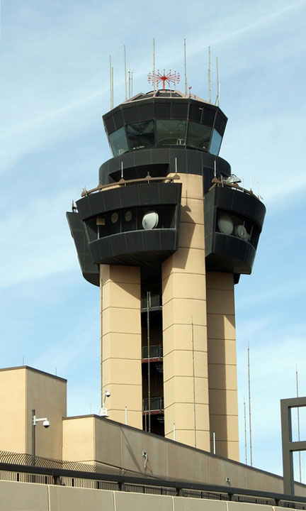
the Dallas/Fort Worth International Airport.
The busiest airport in northeast Texas is
the Dallas/Fort Worth International Airport.
Other major northeast Texas airports include the Abilene Regional Airport, the Dallas Love Field, the East Texas Regional Airport (formerly Gregg County Airport) in Longview, the Easterwood Airport in College Station, the Killeen-Fort Hood Regional Airport, the Tyler Pounds Regional Airport, the Waco Regional Airport, and the Wichita Falls Municipal Airport.
FAA Northeast Texas Airport Locator Map
This northeast Texas airport map shows commercial service airports, reliever airports, and general aviation airports in northeastern Texas. Primary airports are designated with an airplane symbol.

Copyright © State-Maps.org. All rights reserved.
Texas airport map source: FAA 2001-2005 NPIAS.
Texas airport map source: FAA 2001-2005 NPIAS.